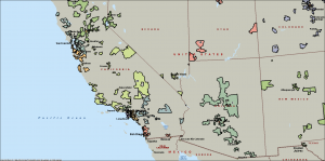
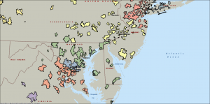
Over the years, many have inquired about maps by district, but unfortunately, precise definitions of district boundaries are hard to get. As a sort-of approach, I did try mapping clubs for districts by ZIP code, and it does give you a feel for how the districts are laid out. Here’s a couple of maps; the blank spots between blobs of color are ZIP codes with no Toastmasters clubs. Click on a map for a larger version; the district number is there near the middle of the blobs of each color.
Southwest USA:
Northeastern USA:

